Bay Farm Island started as a sand dune during the ice ages. How did they get water out of a sand dune and how could they prosper planting crops on top of a sand dune? Join us this weekend at a spot in the “Uplands” where a well provided water to the farmers in 1880. The story reaches back at least 650,000 years when our Hayward and San Andreas earthquake faults caused massive shifts that provided the base for these dunes to rest. These same shifts disrupted a body of water in our Central Valley the size of Lake Michigan. This created a prehistoric river that flowed through the Carquinez Strait and out the Golden Gate Strait almost 30 miles until it reached the Pacific Ocean.
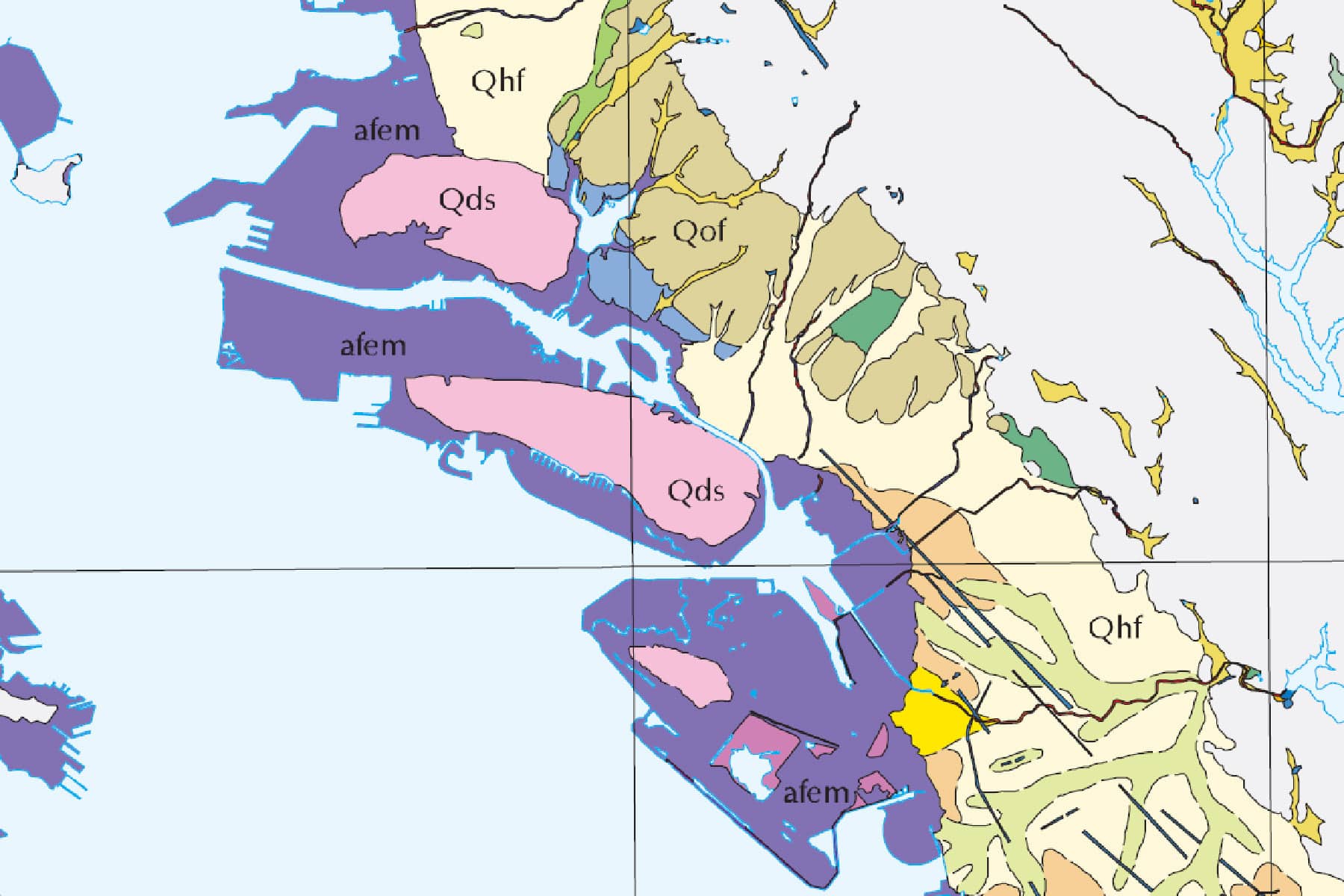
For thousands of years, winds blowing sand through the Golden Gate’s funnel covered the land where San Francisco Bay now flows. Some of the sand gathered on higher terrain in what became our East Bay and created three large dunes. Bay Farm rests on the smallest of the three.
About 11,000 years ago, the earth began to warm and slip out of its ice-age mantle. Glaciers began to melt. Waters rose and the shoreline that reached out past today’s Farallon Island retreated. Gradual flooding created the bay we recognize today.
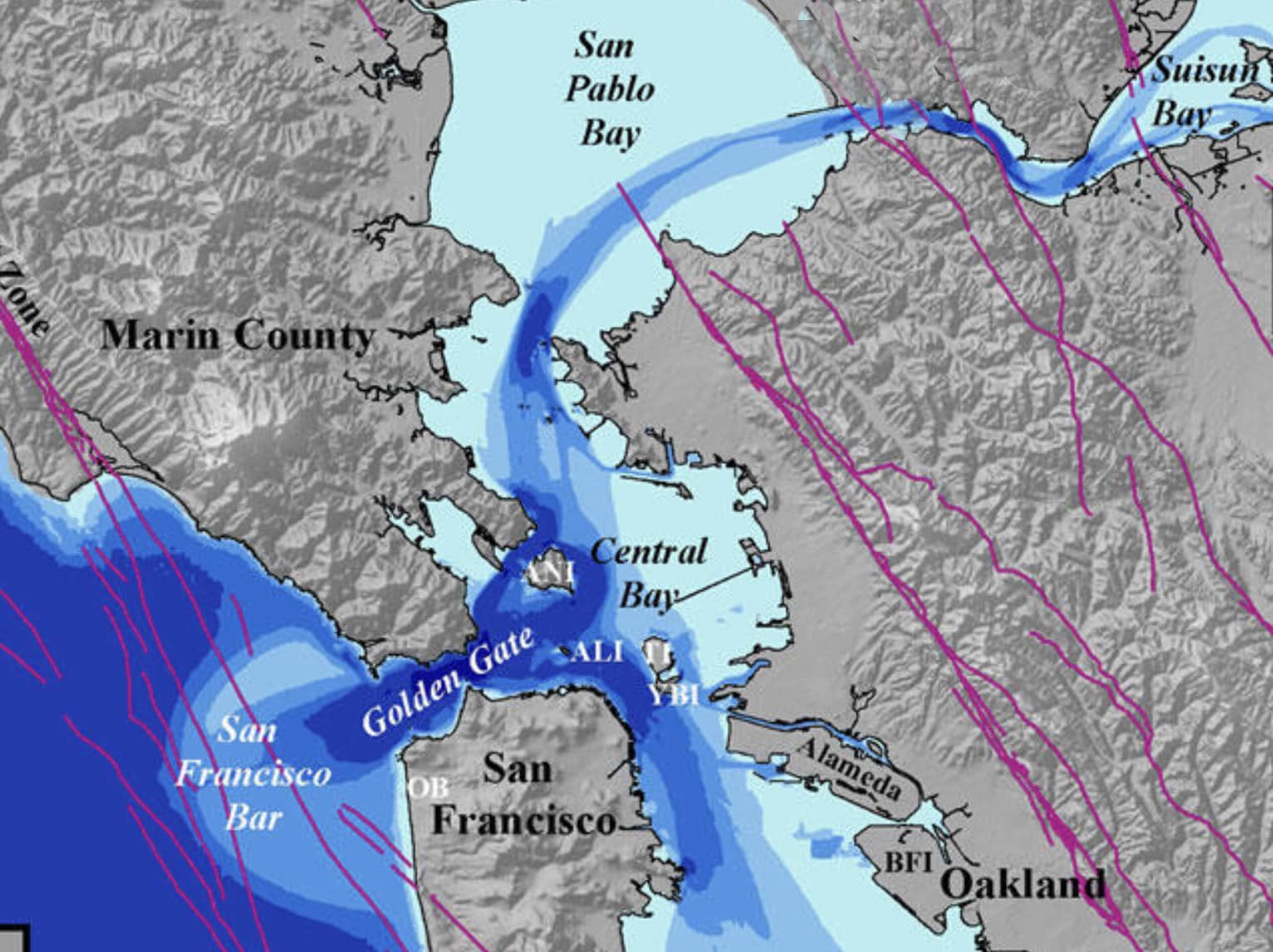
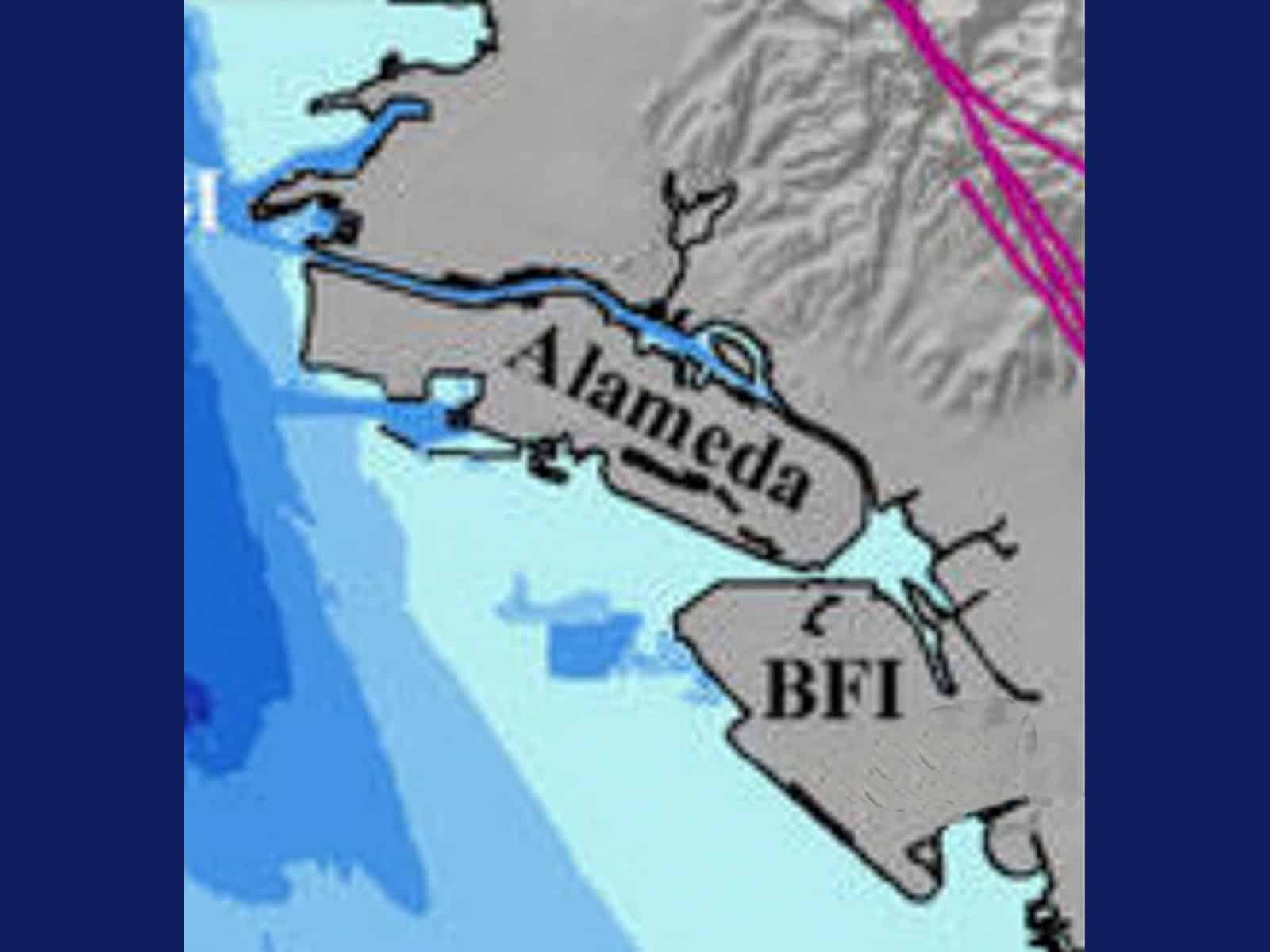
The rich soil on Bay Farm began covering the dunes. The sand beneath this soil soaked up the waters flowing unremittingly from the hills to the east. Some of this runoff pooled in crevices and niches beneath our feet that the earthquake faults had created in the bedrock. Early farmers tapped into these pools and dug wells like the one where we’ll start our walk.


On our History walking tours this weekend (Saturday and Sunday at 10 a.m.) we will explore Bay Farm’s 19th- and 20th-century farms and neighborhoods. I will explain the difference between Bay Farm and Harbor Bay Isle and show how they are not one and the same. I’ll also share how plans for lawsuits against the Bay Farm developers fared in 1972. Activists at the time wanted the City to sue based on the principles set forth in what was then the newly passed Measure A.
I will relate the amazing story of the tidelands surrounding Bay Farm and how the state of California decided to sell this “property.” I will use a handout to show the consequences this 1870s idea has had on the environment and allowed Utah Construction’s creation of South Shore, Harbor Bay Isle, and the industrial park that robbed Bay Farm of its San Francisco Bay shoreline. I’ll also point out the role that Ratto Road, Catalina Avenue, and Silva Lane played in Bay Farm’s post-farming era.
I will set the Way Back Machine to 650,000 years ago with scheduled stops at 71,000, 25,000, 10,000, 6,000, 145, and 45 years ago. Tickets are still available for these leisurely 90-minute strolls around Bay Farm Island. Get yours today so you can join us to learn how Bay Farm Island came to be.
Dennis Evanosky is the award-winning Historian of the Alameda Post. Reach him at [email protected]. His writing is collected at AlamedaPost.com/Dennis-Evanosky.
